When planning a bucket-list trip to South America, the very first question most travelers ask is straightforward: Where is Machu Picchu?
While almost everyone recognizes the iconic image of the Inca citadel nestled between emerald mountain peaks, its exact geographical location and the logistics of getting there often remain a mystery.
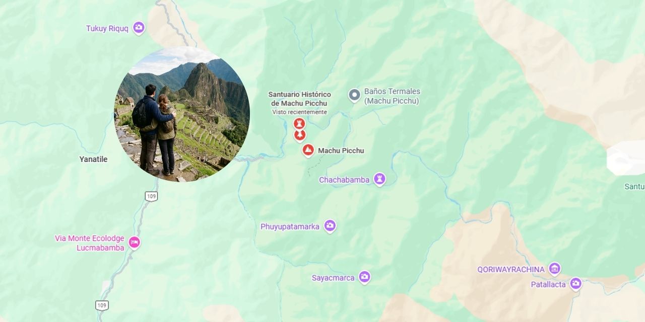
If you are trying to pinpoint this ancient world wonder on the map, here is the complete breakdown of exactly where Machu Picchu is located and how its unique geography shapes your travel experience.
Table of Contents
The Exact Geographical Location of Machu Picchu
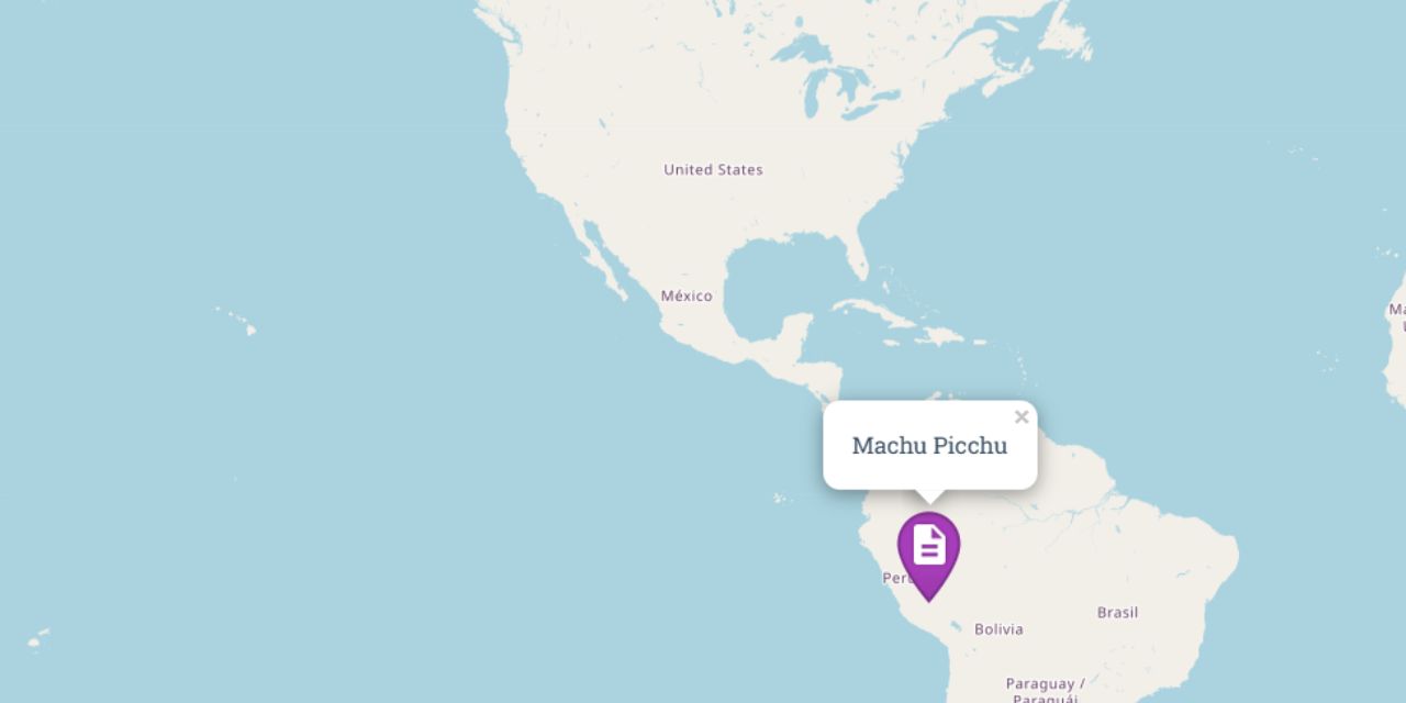
Geographically, Machu Picchu is located in the country of Peru, within the South American continent.
To break it down further into local geography:
- Region: Cusco (the ancient capital of the Inca Empire).
- Province: Urubamba.
- District: Machupicchu (also known as Aguas Calientes).
The archaeological site sits on a mountain ridge overlooking the deep Urubamba River Valley. It is strategically nestled between two dramatic peaks: Machu Picchu (Old Mountain) and Huayna Picchu (Young Mountain).
Latitude, Longitude, and Altitude
For those who love exact coordinates and map data, the historic sanctuary is positioned at:
Coordinates: 13.1631° S, 72.5450° W
The Altitude Surprise
One of the biggest misconceptions about Machu Picchu is its altitude. Many travelers assume it is higher than the city of Cusco, but it is actually lower:
- Cusco Altitude: 3,400 meters (11,152 feet) above sea level.
- Machu Picchu Altitude: 2,430 meters (7,972 feet) above sea level.
Because it sits a thousand meters lower than Cusco, the climate at the citadel is much warmer, more humid, and features lush, semi-tropical vegetation.
Where is Machu Picchu on the Map Relative to Key Hubs?
To plan your logistics, it helps to understand where the citadel sits in relation to the main transit points in Peru:
| From Location | Approximate Distance | Primary Mode of Transit |
| Lima (Capital) | 1,200 km (745 miles) | Flight to Cusco (~1 hour and 20 min) |
| Cusco City | 74 km (46 miles) NW | Train or combination of Bus + Train |
| Ollantaytambo | 32 km (20 miles) | Direct Train (~1.5 hours) |
| Aguas Calientes | 9 km (5.5 miles) | Consettur Shuttle Bus (~30 min) or Hiking |
Understanding the “Cloud Forest” Ecosystem
Machu Picchu is uniquely located at the meeting point of two completely different worlds: the Andes Mountain Range and the Amazon Basin.
This transition zone is known as the Ceja de Selva (Eyebrow of the Jungle) or Cloud Forest. This geographical positioning means the ruins are frequently draped in mystical morning mists, surrounded by dense green vegetation, and home to rich biodiversity—including hundreds of species of orchids, exotic birds, and the famous resident llamas.
How to Get to Machu Picchu’s Location
Because of its remote and protected mountain location, you cannot simply drive a car directly to the ruins. There are no roads leading directly to Machu Picchu. You have three main ways to reach it:
- The Train Route (Most Popular): Take a bus or private transport from Cusco to the Ollantaytambo station, then board a scenic train to Aguas Calientes (the town at the base of the mountain). From there, a 30-minute shuttle bus takes you up to the main entrance.
- The Inca Trail (Classic Trek): Hike along the ancient stone paths laid down by the Incas, entering the location through the iconic Sun Gate (Intipunku).
- The Alternative Trek (Salkantay): Perfect for adventure seekers, this route crosses high alpine passes before dropping down into the cloud forest near the citadel.
Plan Your Journey Today
Knowing where Machu Picchu is on the map is just the first step. Because it is a protected UNESCO World Heritage Site with strict daily capacity limits, booking your transport, entry tickets, and guides months in advance is essential to securing your spot.

